


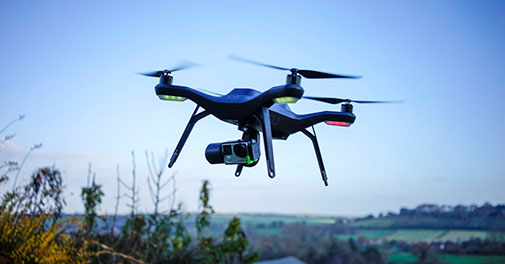
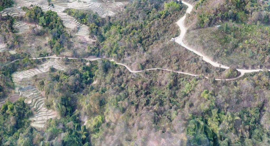
UAV-UAS Mapping

ENSPATIA3D has a rich experience in Drone/UAV photogrammetry. Equipped with best infrastructure in line with the market trend we at ENSPATIA3D produce 3D Maps that fits well into any GIS system in the globe. Our commitment towards achieving preciseness in products has earned us laurels from numerous clients/partners.Our staffs have experience of carrying out a wide variety of photogrammetric services. We at ENSPATIA3D do not compromise with quality as it reflects how much we care about our repo yet it comes at a very nominal cost in comparison with other similar service providers in the market.We have the best possible infrastructure to facilitate the production services with some of the best photogrammtric specialists in the country.
Services:
Wetland Mapping
Airport Mapping
Town or Urban maps for urban planning
Land use mapping
Topographic & Cadastral Mapping
3D Planimetric Feature Extraction
Contour mapping
Interpolation of Digital Elevation Models
Digital Terrain Model (DTM) & Digital Elevation Model (DEM) from aerial and satellite images
Aerial Triangulation
Sectors:
Department of transport (Road/Rail)
Surveying & Engineering
Infrastructure & Construction
Urban planning
Energy & Utilities
Geospatial & Mapping
Mesh Model
Realistic 3D mesh model with texture from UAV/UAS photgrammetry data.....