


Mobile LiDAR

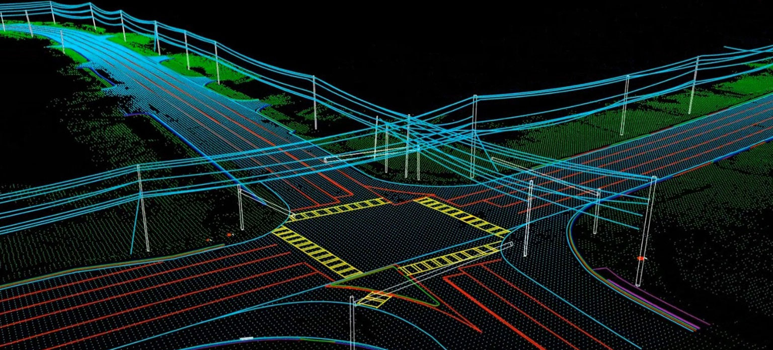
Geospatial information collection using sensors or scanners fitted to a mobile platform is one of the fastest growing are in the Geospatial industry. Along with the Laser scanner, also fitted to the mobile platform are cameras, positioning sensors (GPS) and inertial devices (IMU) whose integration enables direct measurement and mapping from the geo-referenced images and LiDAR.
LiDAR acquired via vehicle
mounted scanner is the current trend in the market and ENSPATIA3D has profound
experience in this area of work. Our specialists have been processing such
LiDAR data and delivering highly accurate and precise data to our esteemed
customer's satisfaction. Our QA & QC process ensures that we strictly follows the guideline and provide accurate quick delivery.
Services:
3D maps for Road, Rail or Utility corridor
Inventory collection, condition assessment and database creation inside the ROW
Crack, pothole, puddle etc. capture in highway projects.
Sidewalk condition analysis according to ADA conformance
Geo-referenced as-built solid and mesh modeling
with 360 degree view
New route plan and cut & fill analysis report.
Sectors:
Department of transport (Road/Rail)
Surveying & Engineering
Infrastructure & Construction
Urban planning
Energy & Utilities
Geospatial & Mapping